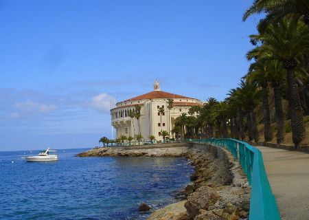
 Santa Catalina Island
Santa Catalina Island, often called Catalina Island, or just Catalina, is a rocky island off the coast of the U.S. state of California. The island is 22 miles (35 km) long and eight miles (13 km) across at its greatest width. The island is located about 22 miles (35 km) south-southwest of Los Angeles, California. The highest point on the island is 2097 ft (639 m) Mt. Orizaba, at 33°22′29.7″N 118°25′11.6″W / 33.374917°N 118.419889°W / 33.374917; -118.419889.
Part of the Channel Islands of California archipelago, Catalina falls under the jurisdiction of Los Angeles County. Most of the island is owned by the Catalina Island Conservancy.
The total population as of the 2000 census was 3,696 persons with almost 85 percent living in its only city of Avalon (pop. 3,127, with another 195 south of the city outside of the city limits). The second center of population is the unincorporated town of Two Harbors, in the north, with a population of 298. Development occurs also at the smaller settlements Rancho Escondido and Middle Ranch. The remaining population is scattered over the island between the two population centers. The island has an overall population density of 49.29/mi² (19.03/km²).
Source : Wikipedia.com